This one mile round trip trail is one of the best desert hikes for adventurers looking for an easy jaunt with a big payoff. If you’re fit enough to slog through a bit of sand, a very cool box canyon experience is closer than you think.
The name may be a mouthful, and the typical descriptions online may not get you going. But if you take a chance on this trail, you too might find yourself saying, “Dat burro tho!”
Table of Contents
What I Put in My Backpack
- 1L of water (minimum – this trail is hot shit!)
- 200 calories snacks
- Sunscreen
- Sunhat
Flash Flood Warning
Take note here. About half of this trail is in a wash. A wash is a dry river or creek bed. This trail ends at a pouroff, basically a dry waterfall. See where I’m going here?
No?
Let me spell it out for the slower amongst you.
Because this is a dry creek bed ending in a box canyon, this area is prone to flash floods. Do not hike Lower Burro Mesa Pour-Off Trail in rainy conditions unless you want to risk drowning in the desert. That would make for a hell of an embarrassing obituary!
Accessing the Trail
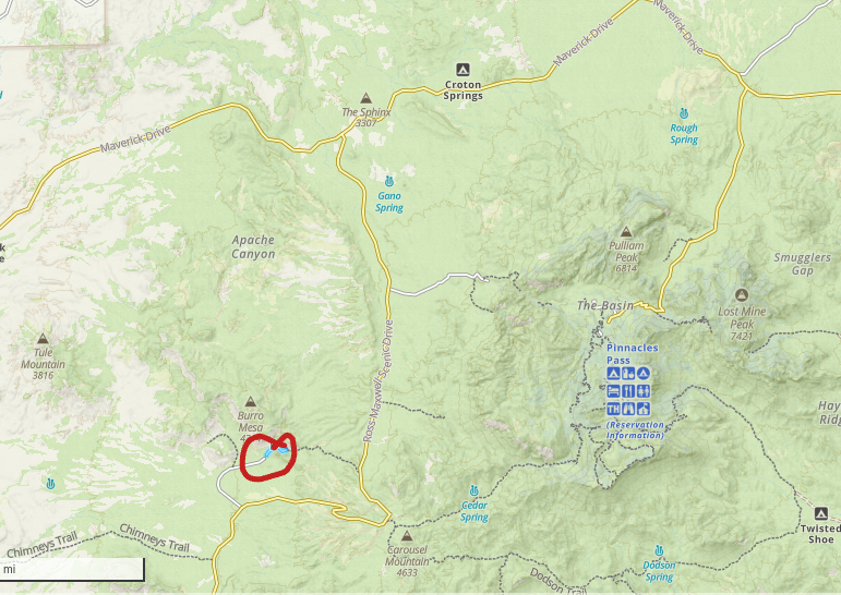
Lower Burro Mesa Pour-Off Trail is located on Burro Mesa Spur road, a paved road off Ross Maxwell Scenic drive. The parking lot is paved and has 17 spots. When I went, there wasn’t another soul around.
If coming from the Chisos Basin, there are multiple places to stop and explore before arriving at the trailhead – the Sam Nail Ranch (not super cool), Homer Wilson Ranch (much cooler) and the Sotol Vista Overlook (very pretty).

The trailhead is circled in red – not hard to find at all!
Hiking Lower Burro Mesa Pour-Off Trail
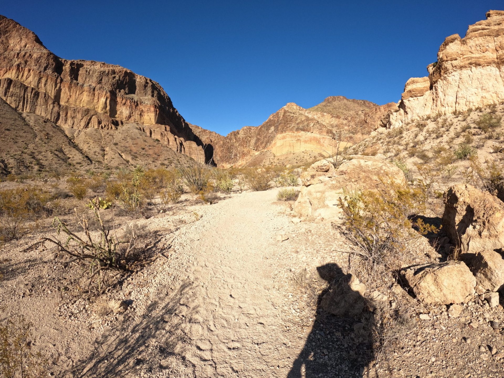
This mostly flat 1 mile trail (with a 120 piddly feet of elevation gain) starts off on dirt and rocks for the first fifth of a mile. After that, you will descend into a wash (a dry river/creek bed). This is where the footing gets a bit sandy and slogging through it can become a bit of a pain in the ass.

There’s no rushing through that shit.
Do not hike Lower Burro Mesa Pour-Off Trail in rainy conditions unless you want to risk drowning in the desert.
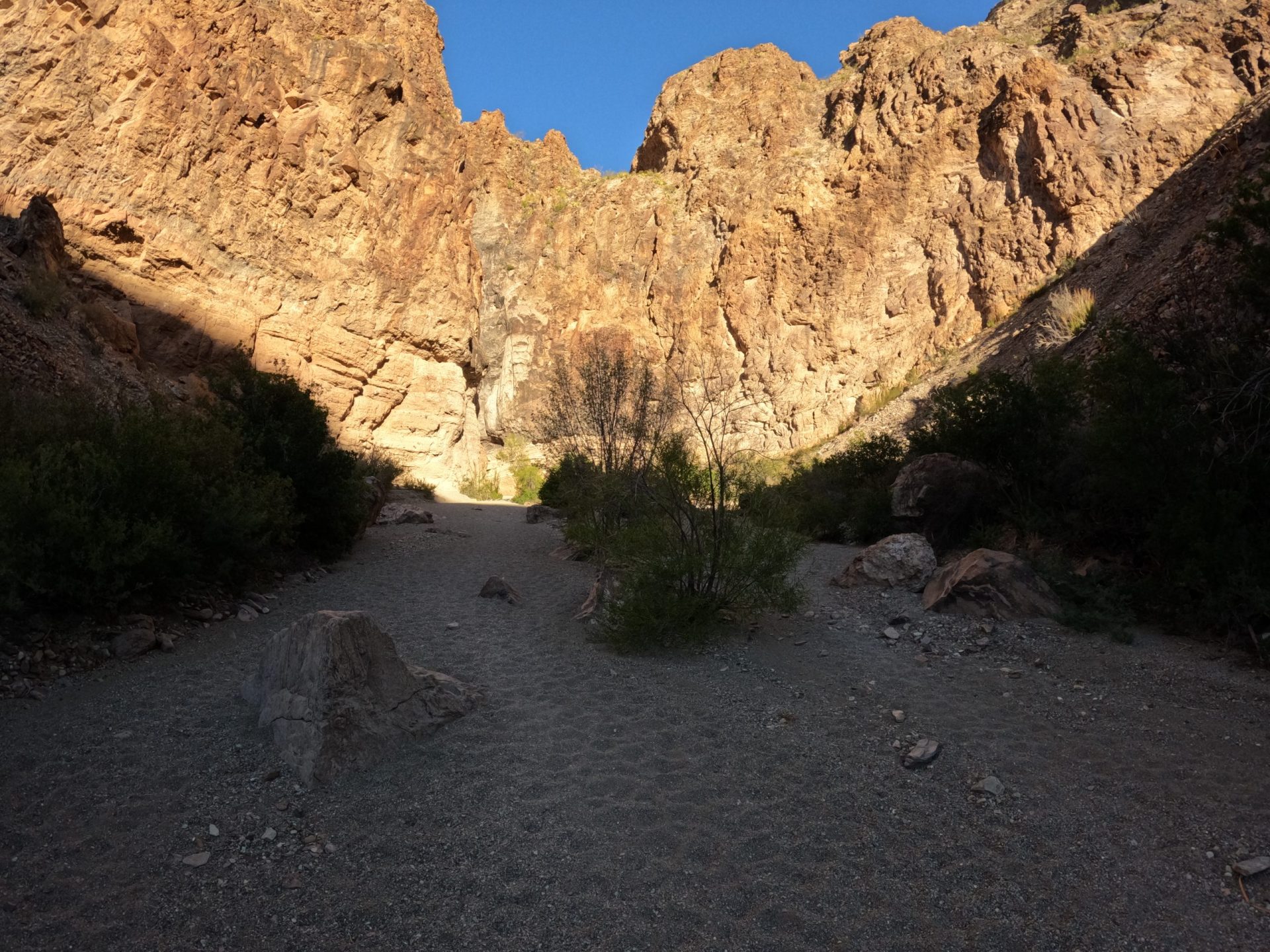
This area is a drain-off which periodically sees water running from the Chisos Mountains to the Rio Grande River. Thanks to the regular water flow, the wash is peppered with Mexican Persimmon, Mexican Buckeye, and Desert Hackberry Trees – more than your usual desert shrubbery.

Bear in Mind
The Mexican persimmons have fruit in them so keep your eyes peeled for black bears!
A Surprising Beauty
As you continue on, all around you are volcanic hills showing off their ancient tufted layers of yellow and orange ash-flow.
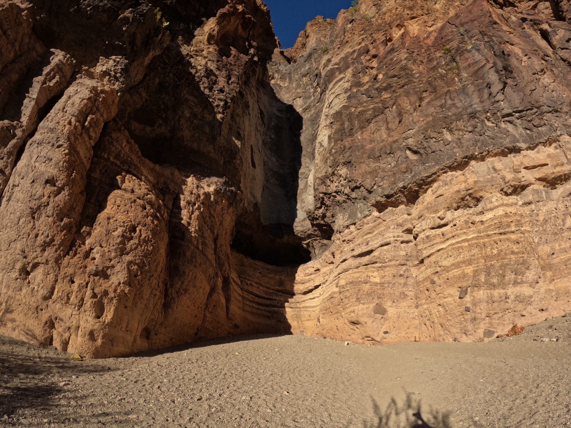
The trail dead ends in a box canyon, as stone walls rise up around you. The canyon walls are smooth and polished from the thousands of years of water washing down its steep sides. There is also small cave formation (that looks like balls to me).
100 feet above is the base of a pour-off that funnels water down from the mountains. In rainy seasons, this pour-off funnels creates a waterfall right in the midst of the desert. There’s a trail up there, and you can hike that, too!

Don’t tell me you don’t see a dick & balls!
Too Long: Didn’t Read;
For some reason, the terms “box canyon” and “pour-off” didn’t really stir my loins, which is perhaps why I didn’t prioritize this hike on my previous three trips to BBNP.
Don’t make my mistake.

Once I saw the Lower Burro Mesa Pour-Off in real life, I realized just how inadequate these damn descriptors are. The words mean the right things, but they fail to convey just how awe-inspiring it really is.
This one is more than worth the incredibly low effort to experience yourself.
Would recommend.
Lower Burro Mesa Pour-Off Trail in Brief
- Short, easy hike
- Great view of a dry waterfall at the end
- Good for families with small children
- Prone to flash floods!
