I normally don’t head straight for the most popular trails in a park because they tend to be overcrowded and overhyped but that’s exactly what I fucking did when I headed into Palo Duro State park for the very first time.
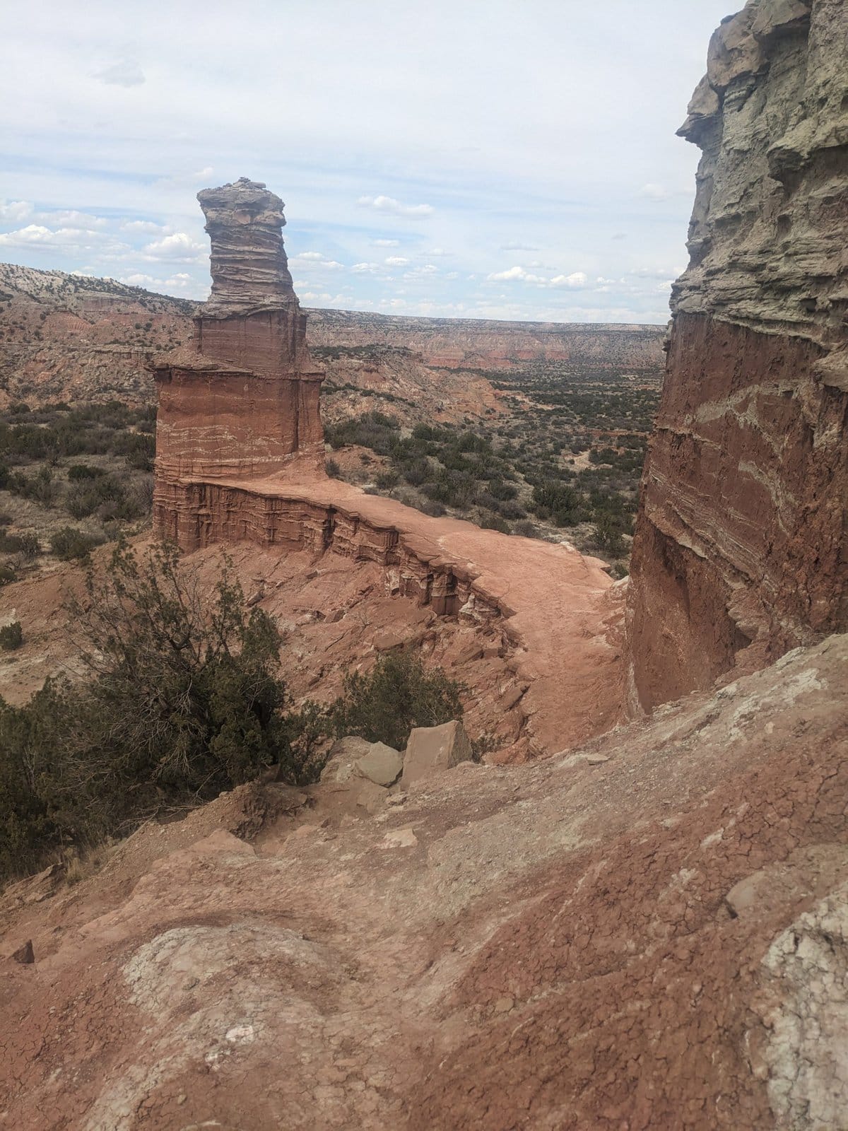
Table of Contents
This trail is touted as the most popular in the park and as a geologic wonder. It ends with two massive hoodoos, which give the trail its name.
Don’t know what a hoodoo is? How dumb can you be?
What is a Hoodoo?
Just kidding!
According to wikipedia, a hoodoo is a tall, thin spire of rock formed by erosion. They typically consist of relatively soft rock topped by harder, less easily eroded stone that protects each column from the elements. Mineral deposits can cause them to have different colors along their columns.
So supposedly the hoodoos at the end of the Lighthouse Trail are iconic and advertised as a must-see within Palo Duro. In reality, they actually are pretty fucking cool.
Alright, back to the nitty gritty details, not this big picture shit.
Hiking Lighthouse Trail: 5.75 Miles Total (Out & Back)
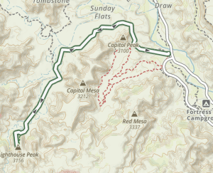
The trail clocks in at about 2.8 miles each way with an elevation gain of 531 feet. Most of the elevation is gained at the very end of the trail when you toil your way up to the hoodoo formations. Until that point, it is a very wide easy trail that can accommodate even the most casual of day hikers.
In fact, as I blazed my way down the trail at the crisp pace of 21 minutes per mile, I passed a large group of hikers who were pushing a stroller down the trail (as easy as the trail is, not even I would recommend that due to the occasional sandy creek crossings and bumpiness of the trail).
Essential Gear
- 2L water minimum – more if doing in hotter temperatures
- Sunhat
- Rain jacket
- Sunscreen, sunscreen, sunscreen!
- 500 calories of food/snacks (minimum)
- Park map
- GPS navigation app with gpx file downloaded – I recommend Gaia
- Sunglasses
The Lighthouse Trail head does not have a restroom
Accessing Lighthouse Trail
To get to the trail head, follow Park Road 5 down into the canyon. It will be on your right. The parking lot is large and can probably accommodate at least 40 cars.
Being the most popular of popular trails, I assumed the trailhead would have a bathroom. What a dumb fuck I was. I should have stopped at Soapberry Spur day use area, which has a nice facility. There are far too many people around to even think of popping a squat somewhere in the damn woods. Lesson learned.
I did the Lighthouse Trail trail at 2pm in March and definitely felt the need to slather myself in sunscreen. It was pleasantly warm and there was no tree cover along the trail – the perfect place for the careless hiker to bake to a crisp. No thanks.
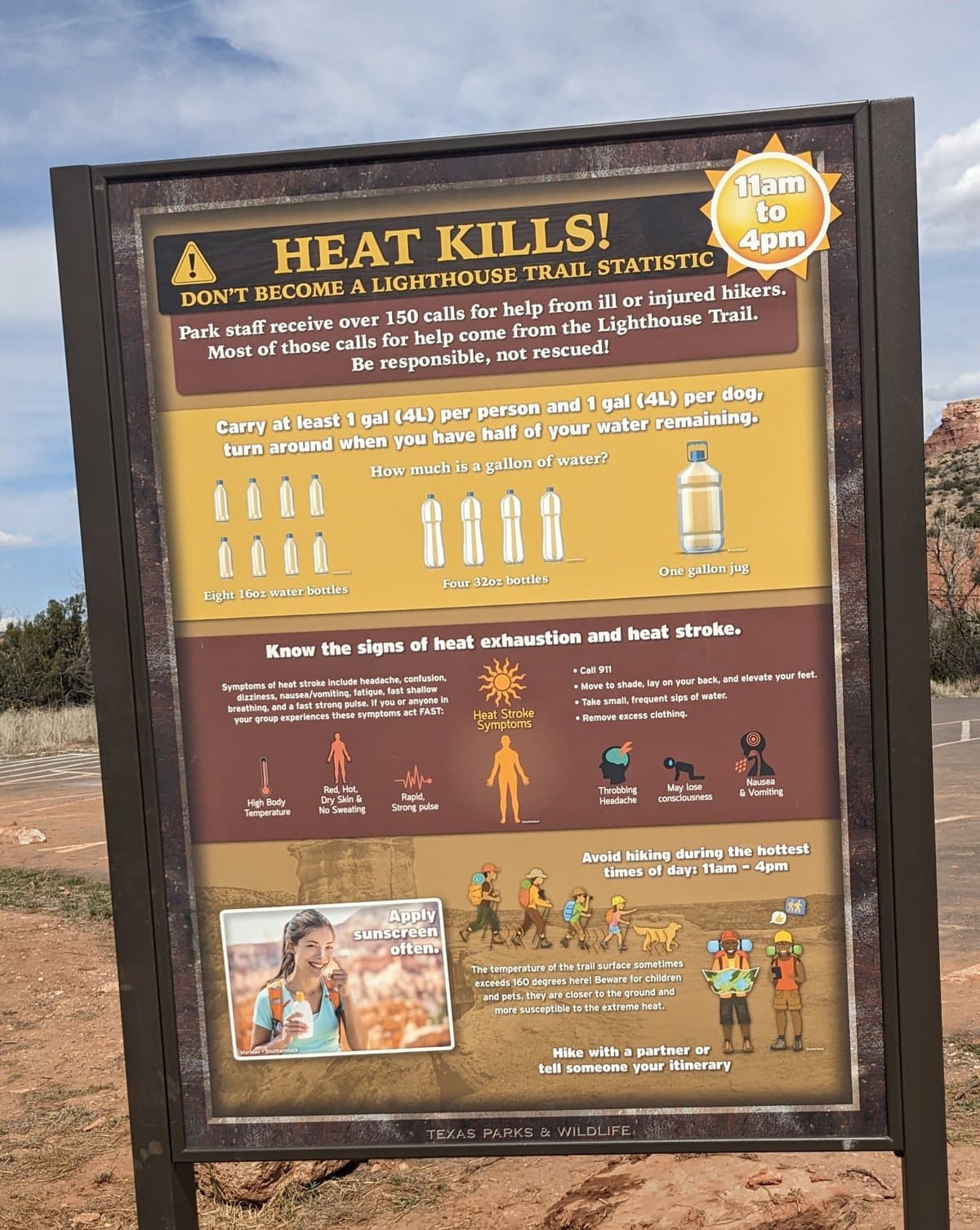
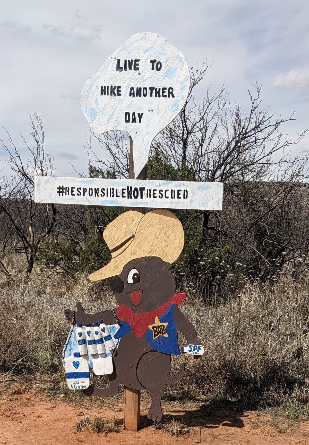
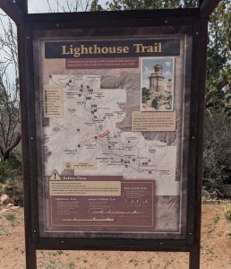
Because of both its exposed nature and popularity (aka the kind of hikers it attracts), it is easy to see why this trail receives the most rescue calls. The park is careful to remind hikers of this with multiple signs at the trailhead, which I have included for your viewing pleasure and edification.
All joking aside, people have died of exposure and dehydration on this trail in summer. Make good choices.
What part of Leave No Trace do people not understand?
As I feared, the trail was overrun with pretty much every kind of hiker, some of whom had no respect for the wilderness. This was evidenced by the toilet paper, orange peels, dog shit and trash scattered along the trail, making me feel like I was in the worst part of a fucking popular ass national park like the Rocky Mountains or some shit.
I cannot stand when people trash the wilderness. It doesn’t matter how inexperienced of a hiker you are, you always fucking pick up after yourself. Leave no trace is not rocket science – this is kindergarten shit. Literal 5 year-olds know better, so there’s no excuse for the adults doing this crap.
Leave no trace is not rocket science – this is kindergarten shit.
Ok, I’ll get off my high horse now but this is exactly why I often avoid the “popular” trails. Makes me lose faith in humanity when I see the careless, trashy reality of other people sucking with every step.
Thank you for coming to my TED Talk.
Getting Started on Lighthouse Trail
The trailhead itself is easy to identify but winding my way along the hard packed trail, I quickly discovered that there are multiple trail offshoots that are not on the map. It appears that they all feed back into each other. Just keep your eyes peeled and be sure not to take an accidental turn onto Capitol Peak trail, which branches off to the left about a ½ mile down the trail.
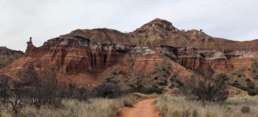
The scenery was unremarkable as I cruised down the trail lickety-split. Like, it’s cool to be on the floor of a canyon kind of surrounded by orange-red scenery. Some of the landscape had different colored stripes running through the cliffs and hillsides, but I began to suspect that the Lighthouse Trail may be seriously overhyped.
The trail crosses a (usually) dry creek bed four times along the hike. At about 1.5 miles onto the trail, I caught my first real glimpse of the lighthouse formations. They didn’t look crazy impressive from a distance but it was exciting to see the iconic fuckers.
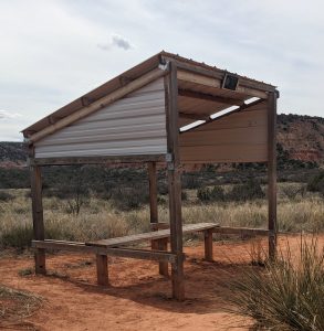
One of the multiple shade shelters along the trail
Ascending the Lighthouse
Once I hit the base of the Lighthouse, however, the trail suddenly took a steep slant, and I began to have hope for the redemption of this trail. Here is where bikers can leave their bikes at the bike stand (there’s no hope of biking the next section, not even for the Aaron Gwin types).
I would advise against doing this stretch of the trail if it is raining or significantly muddy – I mean, unless you want to risk a potentially deadly slip or a busted tailbone.
This is where the person who is perhaps nursing an injury or significantly out of shape or for any reason not sure-footed may want to consider turning around because the trail gets significantly steep and a little treacherous. The park has graciously placed a picnic table near the bike stand for just such folks.
For the experienced, physically fit hiker the climb ain’t no thing, but for someone experiencing God’s great wilderness for one the the first times it could be perhaps more of a challenge than they reckoned on.
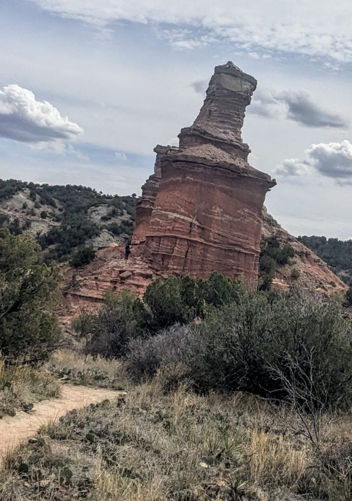
Also of note, the trail here is a mix of packed red dirt and rock. As I charged my way up the climb, I couldn’t help but think that this is the kind of trail that could become extremely dangerous in wet conditions. I would advise against doing this stretch of the trail if it is raining or significantly muddy – I mean, unless you want to risk a potentially deadly slip or a busted tailbone.
From the bike rack the trail gets a little confusing. I took what I wholeheartedly believed was the trail up but on my way down, I discovered that there are actually a few trails that lead a person up – again not on the damn map.
Any are correct and acceptable from what I could tell.
For the next .15 of a mile, the trail I happened upon wound up quite steeply and with each burning step, my hope for a fantastic climax increased. This brought me to the base of the first “lighthouse”.
The Lighthouse Hoodoos
The first of the lighthouse formations is neat, rising approximately 300 feet from the grand canyon of Texas’s floor, but my heart really started to pound when I realized you can go around this formation onto a “catwalk” between the two iconic sandstone formations.
A hoodoo is a tall, thin spire of rock formed by erosion
The causeway between the two hoodoos. Notice the trail on the right side.
As you can see from the picture, at the end of the causeway you can hike up and around the last formation. Unfortunately, it’s not quite possible to get onto the top of this formation, but you can wrap around to take a look at its toosh.
Heh. Toosh. Ahem, moving on…
I’m no rock nerd but even I found the colors and formation of these hoodoos fascinating. The view from the backside of the last formation also offers a nice view into the abyss beyond.
While the views were titillating and you might be tempted to take a picnic lunch up there to enjoy, my experience was plagued by high winds that made it unpleasant to sit and munch so keep this in mind.
If you do take food up there, please, for the love of the Park Service, keep your wrappers and shit under control, and pack out your trash. I cannot repeat enough how gross and lame it is that people do not do a better job of this.
View looking out from behind the second hoodoo
Returning from the Lighthouse: Don’t Panic
As mentioned previously, when I headed back and took the trail down from the hoodoos, I quickly realized I was not on quite the same trail as the one I came up but it appeared well traveled and brought me back to the bike rack just the same.
And that’s all, folks. Time to head back to the trailhead from there or, as I did, head back down the Lighthouse Trail before linking up with the Givens, Spicer, Lowry Trail. I am also told there is a neat formation called the Devil’s Tombstone that can be seen if one follows the Little Fox Canyon Trail but I’ve yet to verify that for myself.
The steep, confusing descent from the hoodoos
Too Long: Didn’t Read;
All in all, the incredible hoodoos at the end make the trail worthwhile. Getting to these unusual rock formations is easy, if boring, but the spectacular beauty and uniqueness of the lighthouse make it worth doing at least once.
Just remember, fucking pick up after yourself and leave no trace. Let’s not make this place look like an overrun national park.
Would recommend.
References
https://tpwd.texas.gov/publications/pwdpubs/media/park_maps/pwd_mp_p4506_0007p.pdf
https://tpwmagazine.com/archive/2016/dec/ed_1_paloduro
http://www.texashiking.com/Locations/ShowLocation.aspx?LocationID=1874#google_vignette
https://www.gutenberg.org/files/52179/52179-h/52179-h.htm#c37


