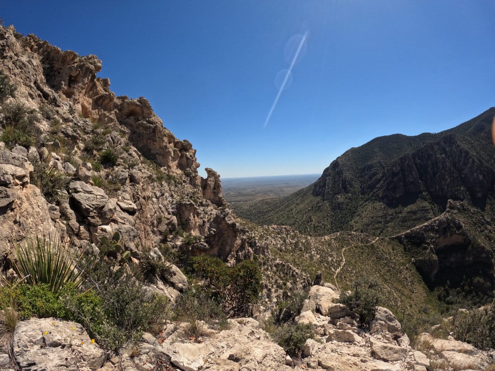
Tejas Trail is one of the trails that made me fall in love with Texas mountain hiking. It was the first trail that gave me that moment of absolute wonder – that moment when you see something that strikes awe into your heart, slaps a smile on your stupid face and makes you totally grateful to be alive. Don’t know what I’m talking about? Go hike Tejas Trail.
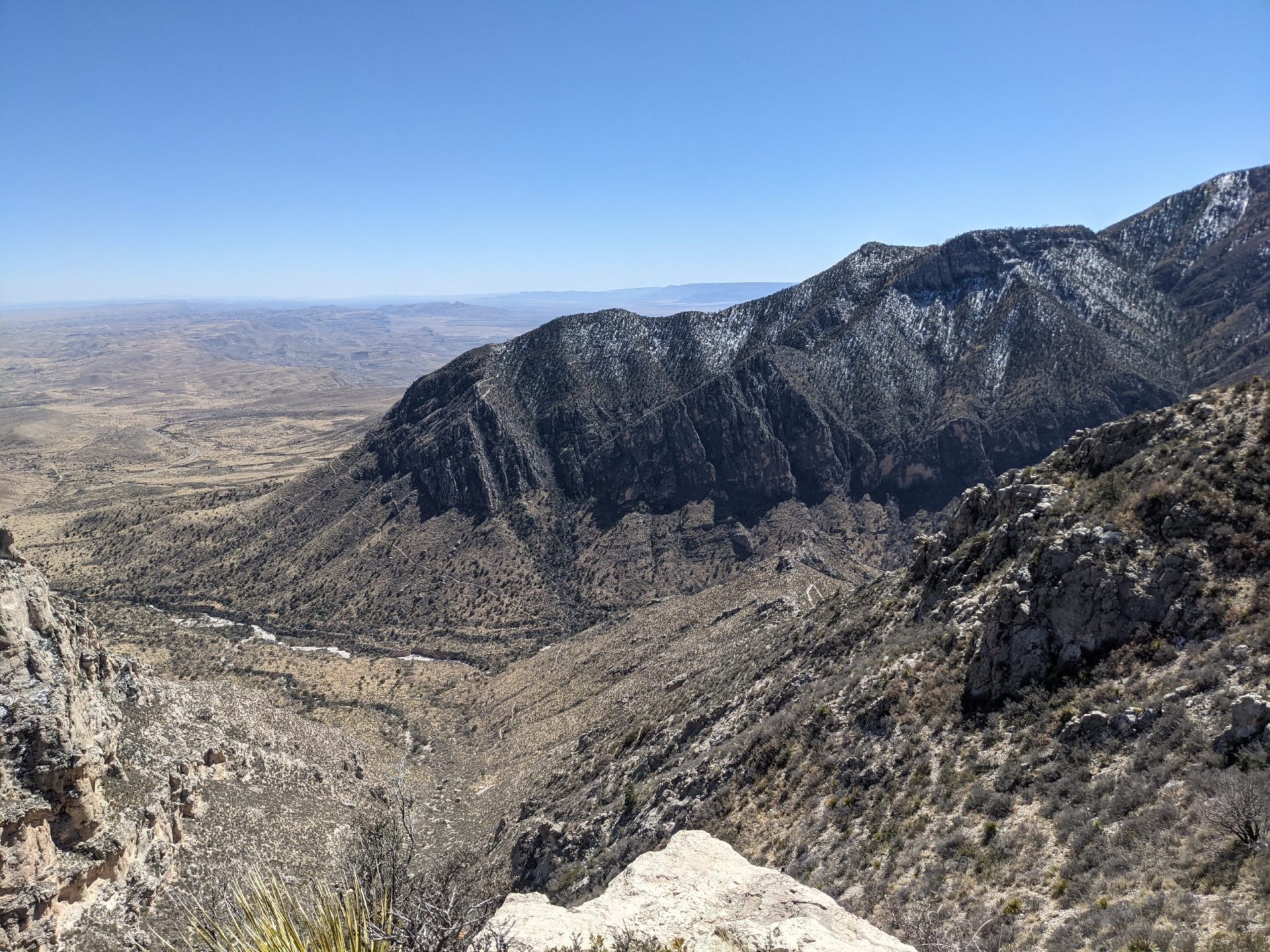
Gushing aside, Tejas Trail is a quintessential representation of Guadalupe Mountains National Park. With stunning mountain views from the bottom and sweeping views from the top, this trail is sprinkled with all of the best GUMO has to offer – desert vistas, rocky wonders and Ponderosa & Pinyon pines reminiscent of Big Bend National Park.
Table of Contents
Recommended Gear & Supplies
- Minimum of 3.5L water if going the full distance one way
- Minimum of 600 calories
- Electrolytes
- Sunscreen
- Sunhat
- Paper map
- Compass
- Navigational app, such as Gaia
- Sturdy hiking boots/shoes
- Emergency satellite device, such as a Bivvy Stick
Hiking Tejas Trail: 11.8 miles one way
This trail is generally started at the southern end of the park at the more popular Pine Springs Trailhead. It can also be begun at the very quiet northern end of the park at Dog Canyon. At the time of this writing, Dog Canyon is currently closed so be sure to check the park’s website before setting out.
On all of my forays into this area, I have started at Pine Springs Trailhead so we’re going to talk about the trail running from South to North. Fair warning, Guadalupe Mountains National Park often fills to capacity, so arrive early if you expect to park at the trailhead.
Pine Springs Trailhead
There is a bathroom at Pine Springs Trailhead with flushing toilets and running water. This is really important to know, because there are no toilets or sources of water along the trail. See my article about dropping a deuce in the Guadalupe Mountains here.
There is also a water bottle filling station located between the male and female restrooms. Don’t hike without enough water!
This trail is 11.8 miles one way & is the primary north/south trail within the park, providing access to multiple trails in the backcountry. It gains 3,000 feet of elevation total along its generous length.
Oh, The Places You Can Go From Tejas Trail
As noted, you can reach a variety of Guadalupe Mountain National Park’s trails using this thru-hike including the Bowl Trail, Bush Mountain, McKittrick Canyon Trail, and Blue Ridge Trail. I have personally used this trail as a way to access Bush Mountain, a path to return from the Bowl Trail, and to access Mescalero Wilderness Campground and can testify that it’s not just pretty, it’s also quite navigable.
Accessing Tejas Trail
Starting from Pine Springs Trailhead, you will cross a rocky wash shortly into the hike. Be sure to keep an eye on your map, as the navigation can be a touch tricky before that point. It’s easy to accidentally end up on Foothills Trail going exactly the wrong direction.
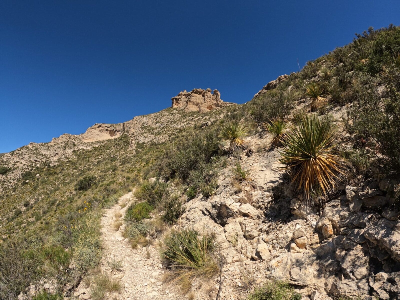
After the wash and until the intersection with Bowl & Bush Mountain trails, the Tejas Trail is very easy to follow and navigate.
At first, the elevation gain is slow and mild. The trail is flanked by tall grasses that like to reach across and brush hiker legs. This can be a little annoying if you’re wearing shorts or after a heavy dew – the wet grass has soaked my pants more than once.
On the bright side, I have seen deer along this section of trail. Fun.
Tejas Rock Arch & Cherry Canyon Views
1 mile into the hike you will see the Tejas Arch, a really cool rock arch visible slightly off the trail. Traveling toward Dog Canyon, the arch will be to your right. Keep an eye out after you pass it, as the trail wraps around behind it for a view of its rump.
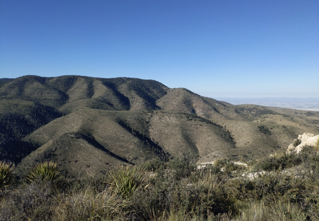
Once you can see the Tejas Arch’s behind, turn to the left! In the opposite direction is a fantastic view down into Cherry Canyon. As you look down over the canyon, you’ll see mountain slopes dotted with various shrubs and coniferous trees and the landscape is deliciously green (well, for Texas anyway).
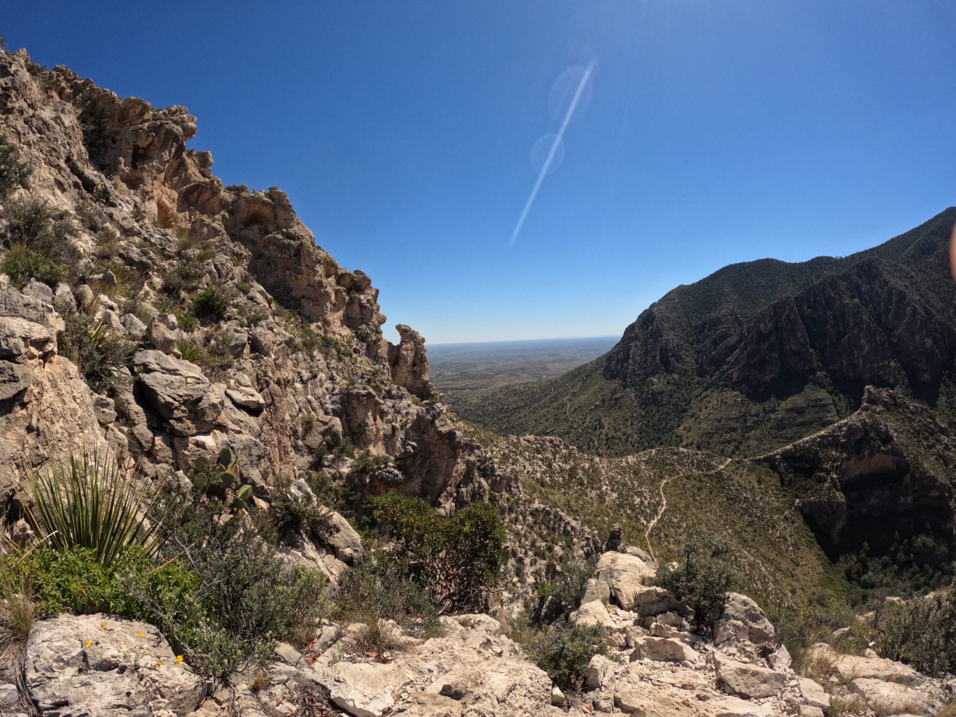
Heart singing views from Tejas Trail! Also, the back side of the Arch
Intersecting with Bowl Trail and Bush Mountain Trail
The trail continues to climb up multiple switchbacks until it reaches an intersection with the Bowl Trail and Bush Mountain Trail. I like to tell myself that I’m being in the moment and savoring the views when I pause frequently to sightsee (aka rest my bitching legs) on this stretch. It’s a tad steep but nothing that can’t be done.
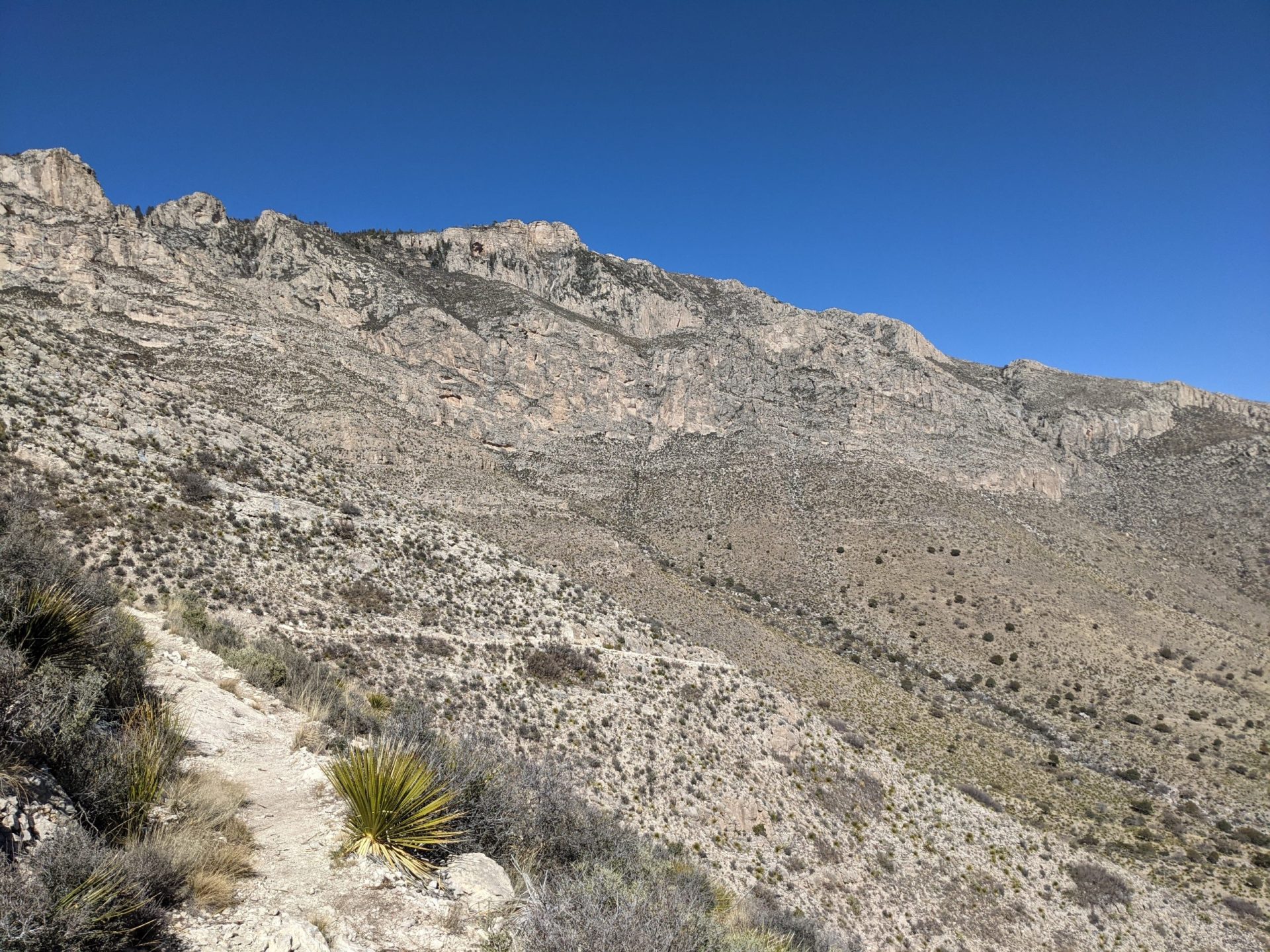
As you gain elevation, you’ll encounter stunning views looking out over undulating valleys below. The higher you get, the more pines you will see dotting the sides of the mountains. In spring and winter you may even see snow blanketing the mountains as you reach greater heights. For a Texan, this is quite a surprise and delight and may present navigational challenges that we native Texans aren’t prepared to handle!
At the intersection of the Bowl & Bush Mountain trail, take a moment to sit down, maybe have a snack and drink in the views. From here you can see for fucking miles and it is glorious.
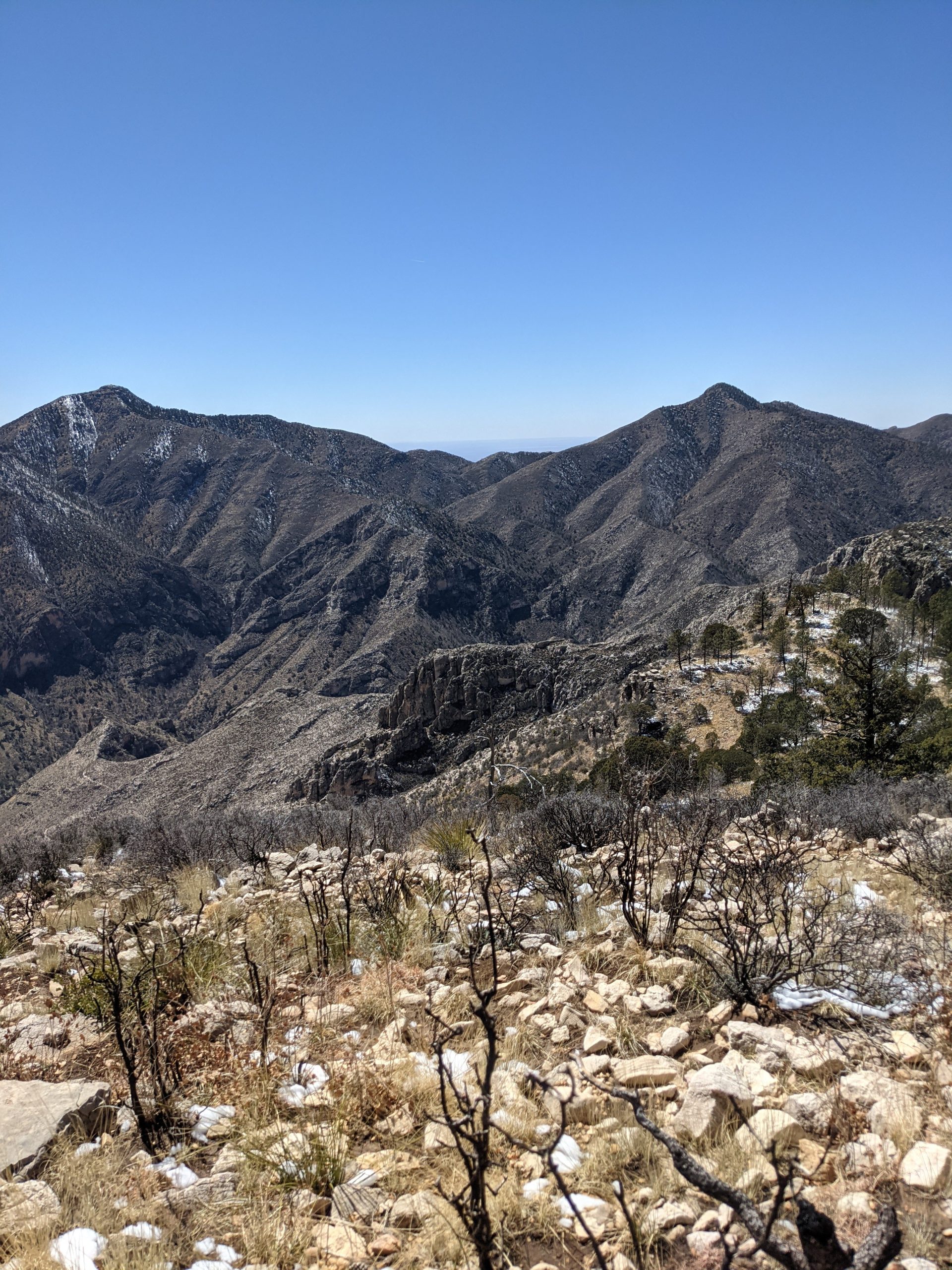
I’ve discovered that sometimes this trail has a smattering of snow!
Beyond Bowl & Bush
It’s only recently that I have explored Tejas further than the Bowl Trail & Bush Mountain. Tejas becomes a very different trail after this intersection!
For starters, it is much more overgrown and harder to follow than the Southern end of the trail. Gone are the sweeping mountain views. The trail still follows the mountain ridgelines but is much more heavily forested, with trees closing in around for miles.
In my experience, Tejas Trail is lightly traveled most days. I generally see 1-3 people or groups of people each time I am on the Southern section of the trail.
After the Bowl & Bush Mountain trail intersection, I didn’t see a damn soul. And I loved it.
Tall grasses reach across the now much thinner trail. I ran across multiple trees that had fallen across the path and not been cleared. This part of the trail is not well maintained, not that I’m surprised.
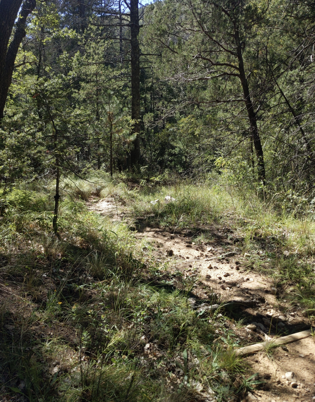
I nearly stepped in bear scat in multiple places as I moved further north and kind of wanted to scat myself when I did. Other than some birds and lizards, however, I didn’t see any wildlife.
Following a Creek toward the Juniper Trail
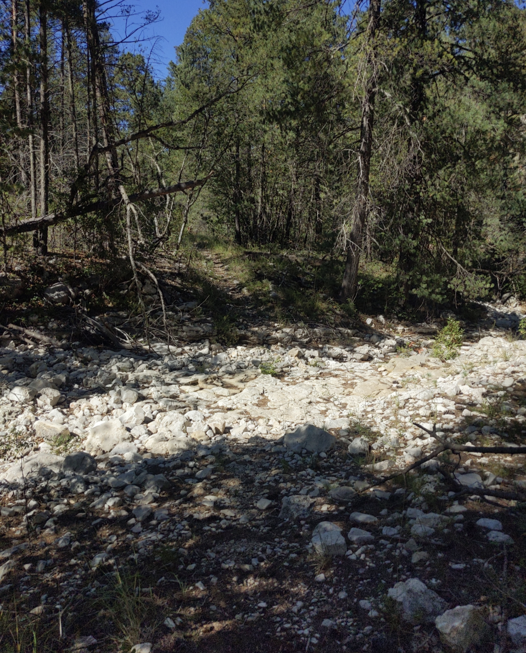
From Bowl & Bush Mountain Trails intersection, Tejas is a relatively straight line for 1.1 miles until it intersects with Juniper Trail. Along this section the trail winds across a white washed (dry) creek bed several times. The creek is full of white rocky boulders and was slow going for my weak ankles.
While the creek crossings aren’t difficult to navigate, per se, I did have to pause a few times to look for where the trail came out on the other side. Sometimes I could find the path on the opposite side of the creek. Other times I followed a cairn or two up the creek before finding the path out.
Past the Juniper Trail intersection the trail continues on toward Tejas Wilderness Campground. The area is generously shaded and I was a little sad not to be camping there. I found some sick trees for hanging bear bags. And got unreasonably excited about that.
Fuck you, it’s a cool skill!
To Mescalero Campground
Further along, the trail intersects with the Blue Ridge Trail which branches west (left, if you’re following along from the south). Along this section of Tejas Trail, there is less tree cover and I was past the dried creek crossings. The path underfoot is rocky and dirt packed.
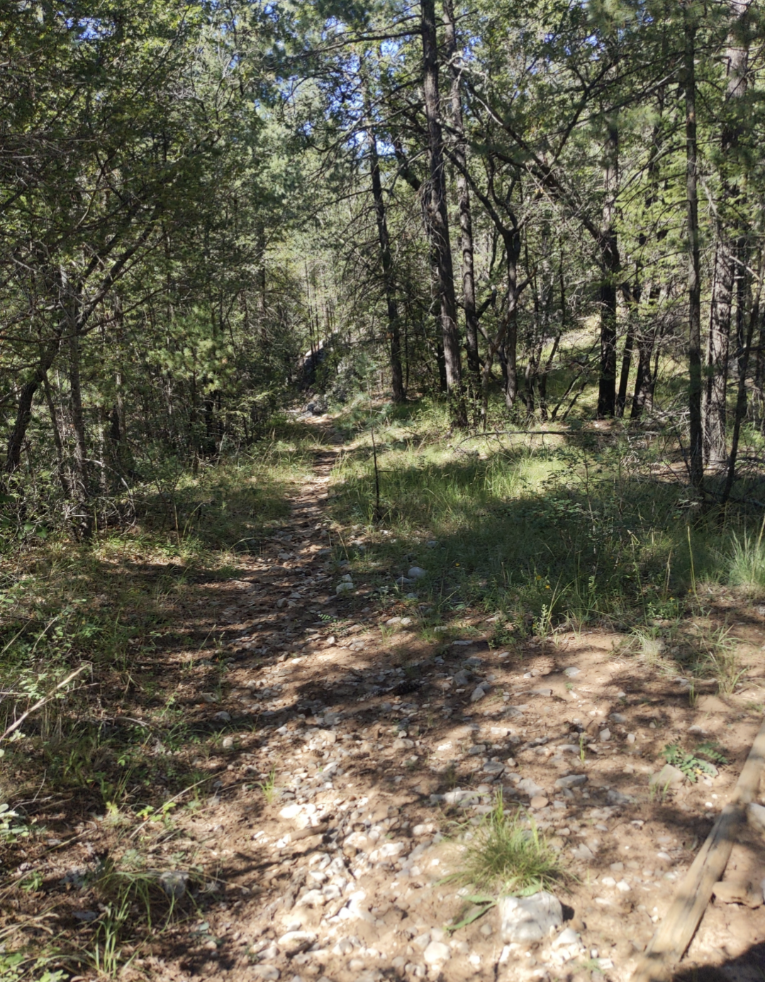
I continued on Tejas to Mescalero Wilderness Campground, where I spent the night. The camp area had a smattering of trees (I found a great tree from which to hang my bear bag) with minimal mountain views.
In all honesty, I was a little disappointed not to have sweeping mountain vistas from the backcountry campground. Oh well! Successfully hanging the bear bag still felt great.
In the morning, I left my base camp there and headed out to continue North on Tejas Trail.
Past Mescalero campgrounds, I had to work my way past multiple downed trees across the trail. But that didn’t last long.
As I gained a little bit of elevation, the trees began to drop away. And soon, the views began to open up – fabulous sweeping valley views to the left. To the right, I could see mountains slowly losing elevation as they decreased in size toward Dog Canyon.
Toward McKittrick and Lost Peak
Tejas intersects with McKittrick Trail 8.16 miles from Pine Springs, though it’s a much shorter hike from Mescalero. The views from this trail intersection are lovely. To the right are pine dotted mountain flanks and to the left the mountains slowly fall away and allow the viewer to see for miles in the direction of Dog Canyon.
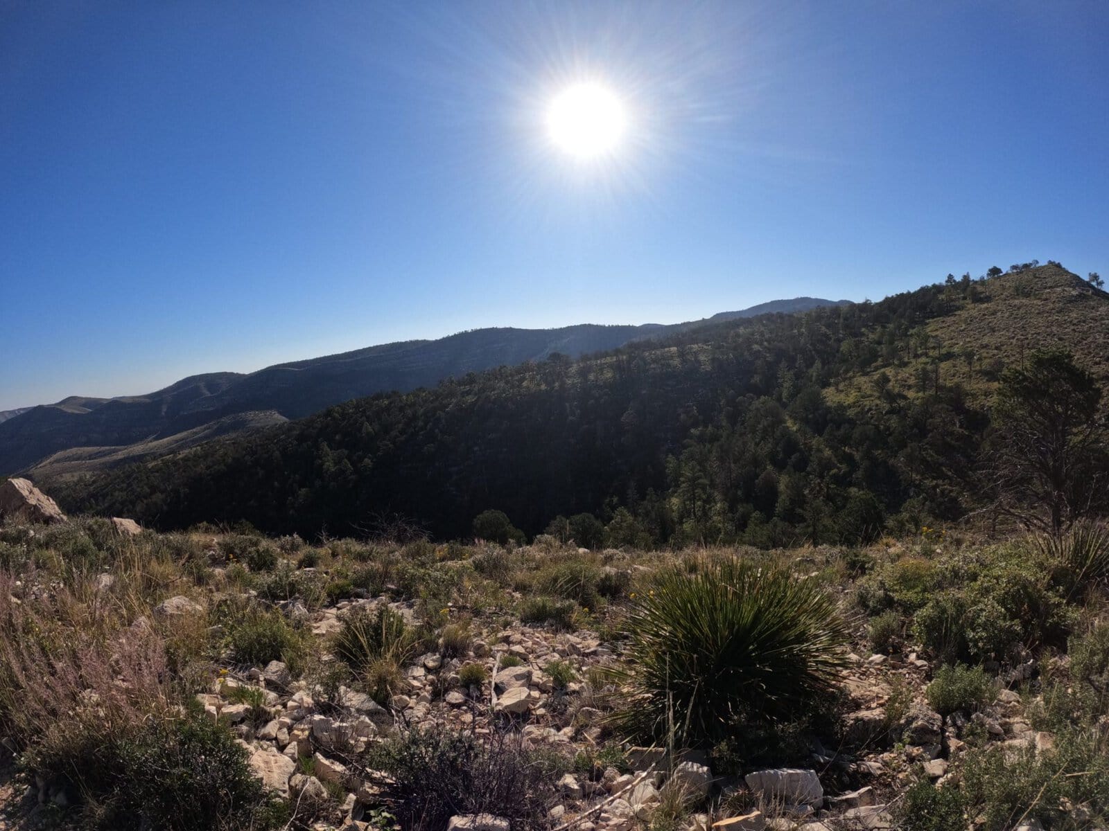
I continued north on Tejas Trail. Here again the trail changed rapidly along the ridge line. There were far fewer trees than before. The trail became very rocky, but was still easy to follow. It felt like everything opened up around me as I made my way toward Lost Peak.
Everything felt so vast and wild. I couldn’t see or hear any sign of civilization in any direction. The sheer magnitude of the mountains was overwhelming and humbling. I felt blessed to be able to hike the way I do.
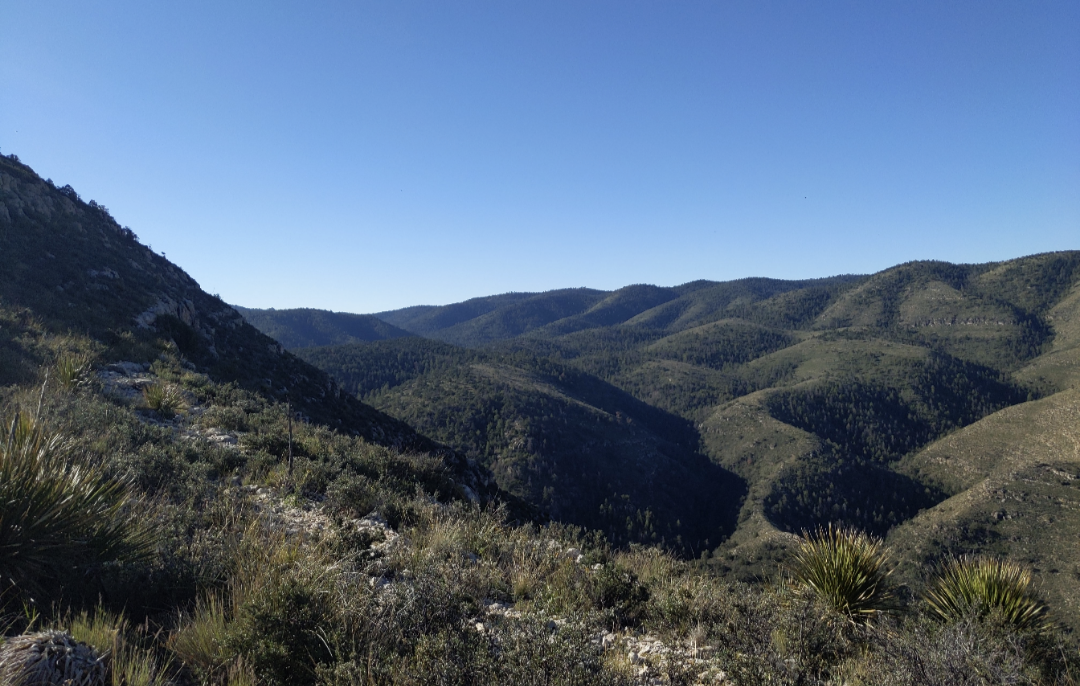
Lost Peak
I continued with slight elevation gain along a ridgeline toward Lost Peak, the 9th highest peak in Texas. As I drew near to the mountain, the rocks became a neat chalky color underfoot and, due to the lack of vegetation, I had to pay closer attention to following the trail. It’s hard to follow a trail when everything underfoot is just white!
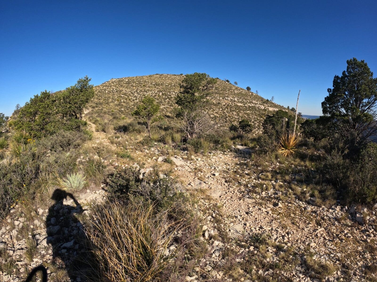
Tejas Trail goes past Lost Peak, not to its peak, but it’s a relatively easy detour to pop up and hit the 9th tallest peak in Texas. There’s a big pile of rocks up there with a plaque.
Once I reached Lost Peak, I am sad to say, my jaunt down Tejas Trail ended. With Dog Canyon closed on this visit, I was forced to turn back. I rather imagine the trail continues on toward Dog Canyon losing some elevation and becoming less and less vegetated and more rocky. But until I attempt it myself, I won’t know for sure.
Would definitely recommend.
TLDR
- Primary North-South trail in Guadalupe Mountains National Park
- Many trails branch off Tejas Trail
- Easy to navigate until the intersection of the Bowl and Bush Mountain Trails, then becomes overgrown
- Great views into Cherry Canyon

